Planning - 30 June 2026
Landslide hazard and steep land overlay Sunshine Coast: development checks
What developers should check when a Sunshine Coast site is affected by the landslide hazard and steep land overlay, including slope, geotechnical risk, access and earthworks.
Why steep land is a separate feasibility problem
Steep land can quietly destroy a development budget. It changes driveway grades, earthworks, retaining, drainage, construction access and sometimes minimum lot-size outcomes. On the Sunshine Coast, it can also trigger the Landslide hazard and steep land overlay.
Urbix RAG found Sunshine Coast Planning Scheme Part 8 overlay material stating that landslide hazard areas and steep land, including slopes of 15% or greater, are identified on the Landslide Hazard and Steep Land Overlay Maps. It also references planning scheme policy guidance and site-specific geotechnical assessment.
What the overlay is trying to avoid
The overlay is about risk to people, property and infrastructure. Extracted scheme material points to avoiding development on steep land where risk is unacceptable and ensuring any necessary stabilisation measures identified by site-specific geotechnical assessment are implemented.
For developers, this means slope is not just a contour-line inconvenience. It can determine whether the layout, access and earthworks are acceptable.
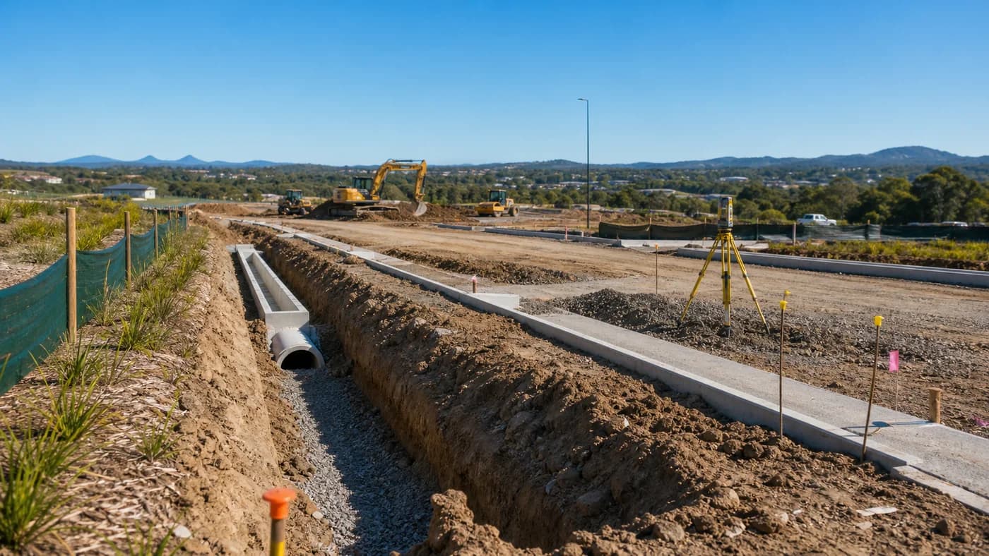
Civil issues to check early
Check driveway grade, road tie-in levels, retaining wall heights, cut and fill, building-pad levels, stormwater velocity, scour, construction access and whether the site can be drained without concentrating flow onto neighbours.
The more the design fights the landform, the more the project pays in walls, reports, redesign and construction risk. Civil feasibility should happen before the architectural concept becomes a concrete poem to gravity.
What information helps
A feature and level survey is extremely valuable. Add the Development.i site report, overlay mapping, any geotechnical information, photos of the site and surrounding roads, and the proposed development yield.
With those inputs, CivilCity can quickly flag whether the site needs deeper geotechnical advice, a different access strategy, or a lower-impact layout.
How CivilCity helps
CivilCity can test steep-site feasibility, coordinate with geotechnical consultants, review access and drainage constraints, and shape civil documentation so the design responds to the site instead of pretending the Sunshine Coast is flat. Bold strategy. Usually false.
FAQ
Common question
What slope can trigger steep land concern?
The scheme material references steep land as slopes of 15% or greater on the Landslide Hazard and Steep Land Overlay Maps, but site-specific mapping and assessment should be checked.
Do I always need a geotechnical report?
Not always for every early conversation, but mapped steep land or landslide risk may require geotechnical input for assessment and design.
What is the biggest civil issue on steep sites?
Driveway grade, retaining, stormwater velocity and safe construction access are common issues that can materially change feasibility.
Useful official resources
Need project-specific civil advice?
Send CivilCity the project location, approval stage and the issue you need resolved.
Contact CivilCity