
Due diligence · Sunshine Coast
Civil risk checklist for buying land near a waterway or drainage corridor
What to investigate before buying Sunshine Coast land near a waterway, drainage corridor or overland flow route, including mapping, levels, access and development limits.
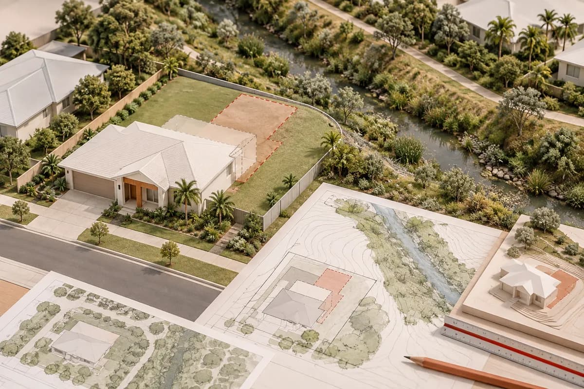
Concept illustration
Project question?
Check the civil constraints before committing to your next step.
Send CivilCity the address, current plans, approval stage and the issue you are trying to resolve. We will help scope the right civil engineering input for the project.
Quick answer
Before buying land near a waterway or drainage corridor, establish how water moves through and around the site, what land or infrastructure is needed to manage it, what mapping and planning controls apply, and whether the intended access, building area and services can coexist with that corridor.
Do not reduce the question to “is the property in a flood area?” The commercial question is whether the proposed development can be located, accessed, drained, serviced and constructed while respecting the relevant water behaviour and approval constraints. The answer needs mapping, levels and a proposal-specific review.
Local Sunshine Coast context
Sunshine Coast development sites can be influenced by creeks, drainage reserves, culverts, open drains, low points and overland flow routes across both established suburbs and growth areas. Coastal flat land and steep catchment land create different failure modes, but both can affect the position of lots, buildings, driveways, pipes and earthworks.
Council's planning scheme and interactive or Development.i information help identify known constraints and application history. Treat them as starting evidence. A map boundary is not a substitute for a level survey, hydraulic or drainage assessment where the concept depends on a particular outlet, building pad or access route.
Waterway and drainage risk register
Use the register to decide which uncertainty must be resolved before the purchase assumption is accepted.
| Risk area | Check before commitment | Possible consequence |
|---|---|---|
| Mapped constraint | Planning scheme, Development.i and relevant overlays | Changed building area, assessment pathway or investigation scope |
| Overland flow | Site levels, upstream catchment, low points and safe flow route | Raising or filling one area may redirect water elsewhere |
| Discharge | Receiving system, outlet level, ownership and permissions | The concept may need storage, a different layout or authority input |
| Corridor and easement | Title, width, access, maintenance and proposed infrastructure | Usable land and building envelope may be smaller than the lot area |
| Bank, erosion and earthworks | Slope, ground conditions, proposed cuts, fills and retaining | Construction or stabilisation requirements may reshape the concept |
| Access and services | Road tie-in, driveway levels and utility routes around the constraint | The site may be physically reachable but not serviceable as proposed |
Example: the low point is outside the mapped corridor
Consider a buyer reviewing a site beside a drainage reserve. The map suggests the main corridor sits along the rear boundary, so the initial concept puts the building pads at the front and assumes the rear can receive runoff. A site walk and preliminary levels show a low point near the proposed access and a possible flow path through the centre of the property.
The review changes the decision sequence. Before refining the building footprint, the team confirms the levels, traces upstream and downstream relationships, checks the proposed driveway and identifies whether the rear reserve is a lawful and physically workable discharge location. The result could be a revised layout or further assessment. A map alone could not answer that question.
This example is illustrative and does not represent a particular property, approval or flood result.
Separate water behaviour from legal rights
A drainage corridor may be shown on mapping, a title instrument or both. Physical water movement, ownership, access, maintenance responsibility and legal rights are separate questions. An engineer can test whether a proposed pipe, swale, bridge, driveway or building arrangement could work; legal advisers should interpret the rights and obligations.
Also separate ordinary stormwater from flooding and overland flow. A small development may need to manage runoff from roofs and hardstand while also preserving an existing flow path. Solving one without considering the other can shift risk to a neighbour, road or lower part of the site.
Checklist for your project brief
Send the following before asking for a purchase-stage review.
- Address, lot and plan, proposed development and minimum acceptable outcome.
- Current survey or available levels, site photographs, drainage features and road frontage information.
- Council mapping, Development.i material, title, easements and prior approval documents.
- Sketch of building areas, access, parking, earthworks and assumed stormwater route.
- Known waterway, culvert, drain, reserve, low point, bank or downstream connection concern.
- Contract deadline and the evidence required before the purchase decision.
Common mistakes
Do not treat a waterway as a convenient discharge point, assume a drainage reserve can be built over, or place fill to create a building pad before understanding the flow path. Do not rely on a map screenshot without checking the date, source and limitations.
Another mistake is analysing stormwater only after the building layout is complete. Near a corridor, drainage, access, earthworks and the building envelope are coupled decisions. The earlier the controlling relationship is tested, the more options remain.
When to involve CivilCity
Involve CivilCity before buying or before fixing the concept when a waterway, drainage reserve, low point or overland flow route could control the layout. CivilCity can help define the evidence needed, review the civil interactions and identify when further drainage, survey, geotechnical, planning or legal input is warranted.
Common questions
Does a waterway nearby mean the land cannot be developed?
Not necessarily. It means the development concept may need to respond to planning, flooding, environmental, drainage, access and construction constraints. The applicable mapping and site evidence need to be reviewed together.
Is a flood or drainage map enough for a purchase decision?
No. Mapping is a screening tool. It may not show the full site behaviour, local levels, structures, culverts, overland flow or the physical feasibility of the proposed development.
Who should interpret easements near a drainage corridor?
The engineer can identify the physical implications for access, drainage and layout. A solicitor should interpret title instruments, rights and obligations. Both workstreams should use the same proposed arrangement.
Official sources and further guidance
- Sunshine Coast Planning Scheme 2014
- Sunshine Coast Council: Development.i site report
- Sunshine Coast Council: development applications
- Sunshine Coast Council: operational work
Use the current requirements for your property and proposal. Illustrative scenarios describe possible design issues; they are not reported client projects.
Discuss your project
Review the corridor before you buy
Send CivilCity the address, mapping, survey and concept so the water, access and development risks can be prioritised before commitment.